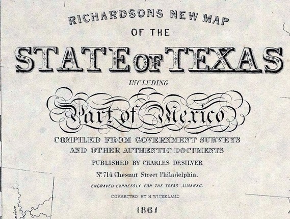
Richardson’ss New Map of the State of Texas 1861
Richardson’s New Map Of The State Of Texas Including Part of Mexico Compiled From Government Surveys And Other Authentic Documents. Published By Charles Desilver No. 714 Chestnut Street Philadelphia. Engraved Expressly For The Texas Almanac. Corrected By H. Wickland. 1861. Entered … 1861 by Charles Desilver … Pennsylvania. (inset) Map Showing The Proposed Route Of The Aransas (sic) Railroad (And Its) Connections With The Eastern Roads.
